Category Archives: Drawing Board

Sharjah

Sharjah, 2004, Sharjah, UAE, Office
path2993

Started: 2002
Completed: 2004 – Site sold on to another developer
Client: Government of Qatar


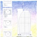
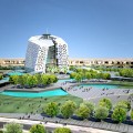
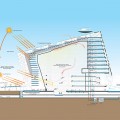
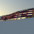
Jordan+Bateman Architects won the international competition to design a signature office tower in the United Arab Emirate of Sharjah. The signature external form was designed to be unique, highly visible and individual. Its form was adapted to allow large amounts of external shading to reduce the running cost and the circular form fitted well to the corner location and allowed individual entrances for the tenants.

Secretariat Building

Secretariat Building, 2010, Baghdad, Iraq, Office
path2993

Started: 2010
Completed: 2010
Client: Iraqi Government


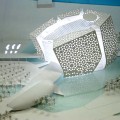
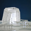
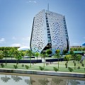
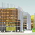
The Secretariat Building is adjacent to the Presidential Palace alongside the river Tigris. The main body of the building is located in the most focal point on the site, which we determined from a analysis of the existing urban grain. The office space wraps around a central atrium. The central atrium provides a magnificent space uniting all the Directorates. Rising over 12 floors the form of the building is intentionally fluid and sculptural with the outer skin of the structure acting as a solar shade to the internal structure. This outer skin is perforated with a traditional Arabic Iraqi pattern allowing light and air to circulate in and around the building whilst also acting as a solar shade to the externals walls.

Bohu

Bohu, 2012, Bohu, China, Mixed Use
path2993

Started: 2011
Completed: 2012
Client: Bohu Local Government


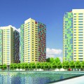
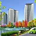
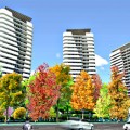
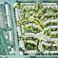
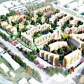
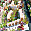
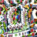
Two mixed use schemes are being developed for the riverside of the city of Bohu, China. These projects will provide about 20000 square meters of commercial area at the ground floor and above these about 780 housing units.

Yelaman Village

Yelaman Village, 2011, Buerjin, China, Master planning
path2993

Started: 2011
Completed: 2011
Client: Buerjing Local Government


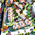
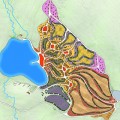
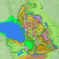
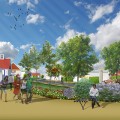
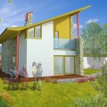
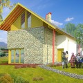
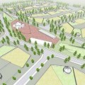
The Yelaman Project, in the Altai Provence of North West China, aimed to create a new village that would celebrate the rich ethnic mix of the residential population of the area and be an attraction to the tourist. The new village would host ethnic festivals and activities, and provide an ethnic experience for the tourist and provide income and prosperity to the indigenous population. The built form was envisaged as being primarily single and 2 storey buildings consisting of administration and commercial building, tourist and recreational buildings and residential buildings for the indigenous families and for countryside bed and breakfast establishments.


The housing was designed to improve living standards Traditional styles and techniques were borrowed from, but developed and translated in a modern way.


The village was set out mixing single detached dwellings with semi detached houses, intended to maintain the vernacular and organic feel of the village.

Fuhai Masterplan

Fuhai Masterplan, 2009, Fuhai, China, Master planning
path2993

Started: 2009
Completed: 2009
Client: Government of Fuhai


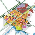
A new railway line is being built through Fuhai in the NW province of Xinjiang Autonomous Region in China. Jordan+Bateman Architects has been commissioned to master plan a new five square kilometre quarter for the town and is also executive architect for many of the new buildings. We are working in close collaboration with the council’s own appointed local partners.
dotted line
See Also
Beitun TowersMedina Sidonia

Kazakh Village Fuhai

Kazakh Village Fuhai, 2009, Fuhai, China, Master planning
path2993

Started: 2009
Completed: 2009
Client: Government of Fuhai


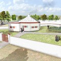
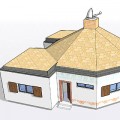
The Kazakh people of the Xingjian region are a nomadic people, some of whom are deciding to settle in villages. jordan+Bateman Architects worked closely with the local community to develop an appropriate scheme for these people, in this region. The design is inspired by an analysis of their lifestyle and the traditions of these proud people and their close relationship with their animals and the land.


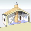
The village layout has an organic natural planning, allowing separate routes into and out of the village for people and animals, plus a central park and a light touch on the land. The homes are clearly inspired by the traditional Yurt, keeping a central fireplace which is optimised for natural ventilation with a flexible internal layout. Sanitary facilities are added plus well insulated external walls that can easily be personalised. dotted line
DownloadKazakh Village – Project Data Sheetdotted lineSee AlsoFuhai School

Altay Ski Resort

Altay Ski Resort, 2011, Altay Xinjiang, China, Master planning
path2993

Started: 2010
Completed: 2011
Client: Altay Regional Government


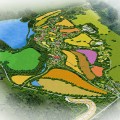
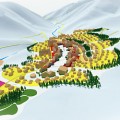
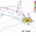
Proposal for a new ski resort linked to Altay City in the North of the Xinjiang Province. The project takes advantage of the exceptional weather conditions in the area, which aims to attract tourists and sports enthusiasts worldwide. The new ski area is situated 25km from the main city with its airport being linked by a new train track and a new road. The village is designed to fit into the landscape, providing a picturesque settlement that naturally follows the contours of the land. The ski slopes, designed to pass through the village by a series of elevated and lowered platforms which are separate to pedestrian paths, make for an interesting and dynamic environment. Cars are kept to the perimeter of the resort by a parking hub. Access will then be provided through a green public transport interconnection.

Beitun Mixed Use Towers

Beitun Mixed Use Towers, 2009, Beitun, China, Master planning
path2993

Started: 2008
Completed: 2009
Client: Chinese Government


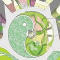
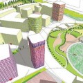
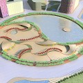
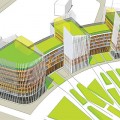
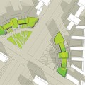
As part of a master planning exercise Jordan+Bateman Architects was asked to develop scheme designs for a range of mixed use towers in the centre of Beitun. These studies set out to develop a fresh approach, reflecting the optmism of the local governor. The buildings were arranged around a crescent shaped city park, centered on a major road junction. The project is on-going as the masterplan work is being developed. dotted line
DownloadBeitun Mixed Use Towers – Project Data Sheet

York Guildhall

York Guildhall, 2012, York, UK, Master planning
path2993

Started: 2012
Completed: 2012
Client: City of York Council


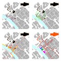
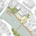
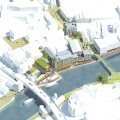
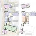
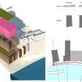
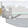
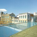
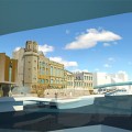
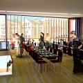
Re-imagining York’s Guildhall to better connect the river with the City of York was an opportunity to address how the heritage and historical value of the site adjoining the river frontage had been lost through subsequent development, which had turned its back on this key area and undermined its value. We sought to address this by providing a design which not only opened up the Guildhall but also opened up the site to connect York with the river and the site with the city.


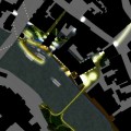
The permeability of the site had a number of constraints which were preventing the flow of movement from the active city streets of the north, the passive gardens and green spaces of the south and west and the wider leisure opportunities of the east. We needed to address all angles of the site in order to analyse where it was not working. Pedestrian movement was broken and any obvious route on foot was constrained by buildings blocking the flow of movement. The river Ouse in the context to the site was not allowing for fluid ease of movement. The linear façade of buildings adjoining the river frontage within the site boundary prevented any extension to what was an existing attempt of a river walk from east to west. When approaching the site from the northwest, the boat slipway was a great hindrance, with the fall of the ramp creating an obstacle within the public space. Further constraints to pedestrian movement were presented from Lendal Bridge itself. Although the bridge provides a direct crossing over the river, and beyond the City, it is designed and gives prominence overall to vehicles, with restricted pedestrian flow.


We came in the top ten out of 36 entries and received very positive comments from the judging panel.

Haverhill Feasibility Study

Haverhill Feasibility Study, 2013, Haverhill, UK, Master planning
path2993

Started: 2013
Completed: 2013 – On Going
Client: Haverhill Vision


Haverhill is a market town situated 16 miles from the city of Cambridge and a further 65 miles from Central London. Although having no direct train link running from London, it is well serviced by local buses from Cambridge. This makes it a viable option for commuters from both cities as a place to live but also an alternative place to reside which still retains all the charm of the typical English town.


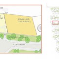
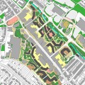
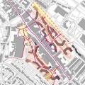
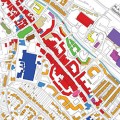
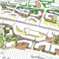
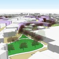
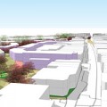
This feasibility study considers the high street and the potential for expanding beyond. The focus is to look at areas and pockets of land which directly connect with the main, linear high street.


A wider focus of this feasibility is to use Haverhill as a example town as to what contributes to the decline of the high street, something we have seen much of over this past decade. The focus is on what regeneration and development can do to address this.